HOW TO WALK
How to walk the MKT?
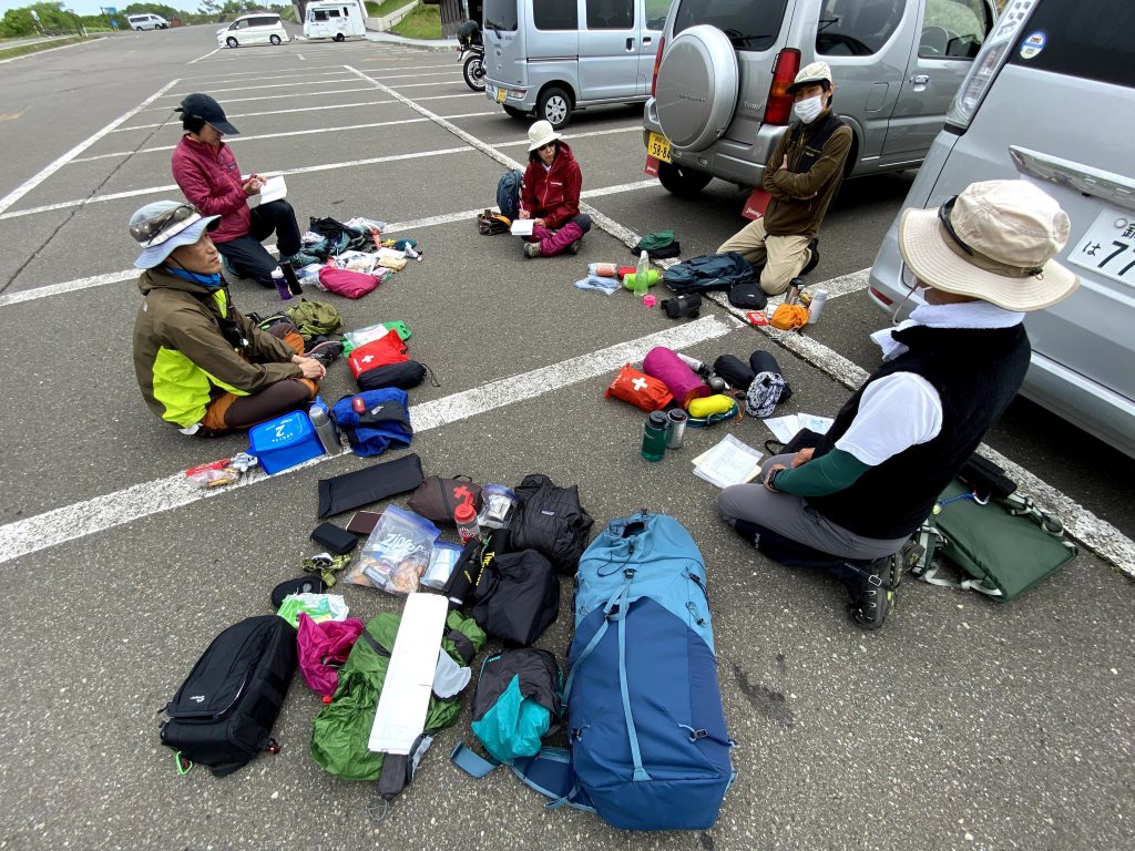
Plan and Preparation
The Mashu Kussharo Trail (MKT) is a 62.5 km (39 mi) trail located in Akan-Mashu National Park in the center of eastern Hokkaido. We will introduce the minimum preparation and knowledge to walk and enjoy the trail as well as the seasonal features of the MKT.
Planning
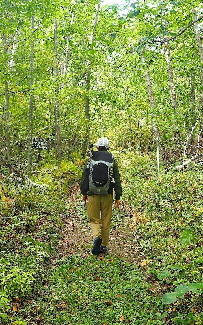
1. When to walk?
The MKT is open from late April to early November. While the trail is relatively flat and can be enjoyed by hikers of all ages and experience levels, you need to be careful of dramatic climate changes depending on the season. You also need to be careful of changes in temperature and weather conditions that may occur in any season.
➡︎ Historical weather data of the Kawayu area (statistics of temperature and rainfall) (Japanese)
➡︎ Weather forecast of the Kawayu and Teshikaga area (Japanese)
Four seasons of the MKT
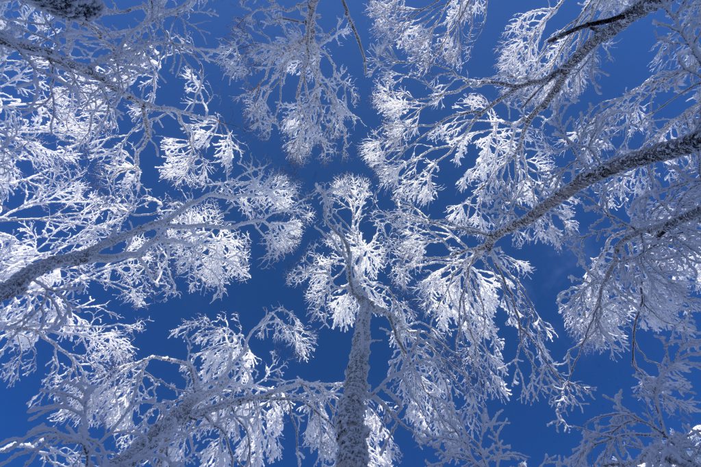
Spring: April – May
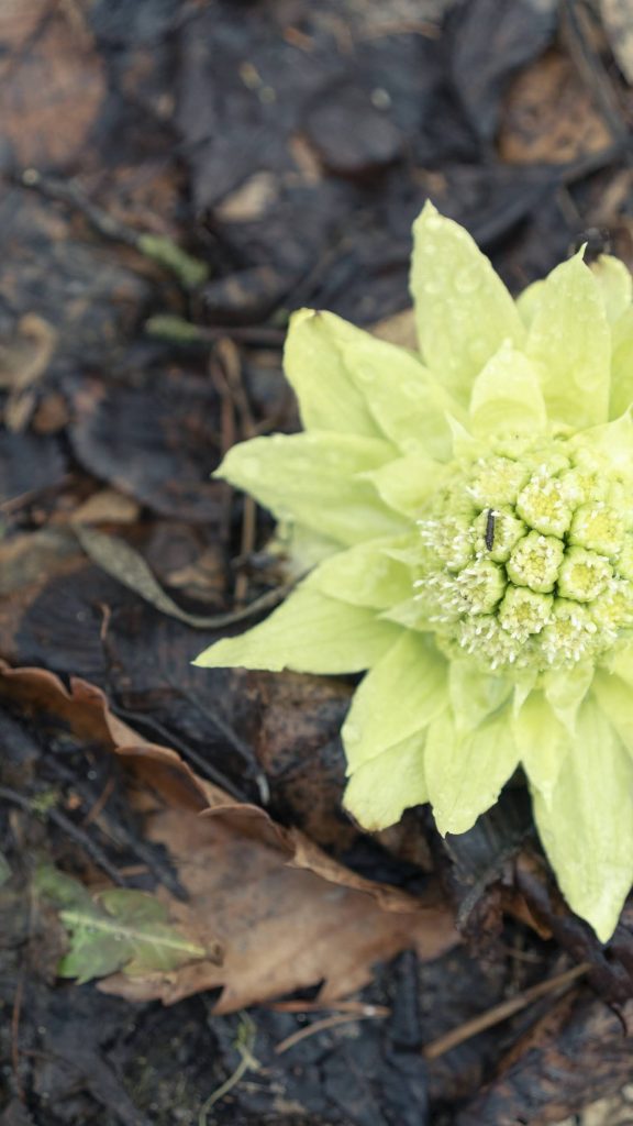
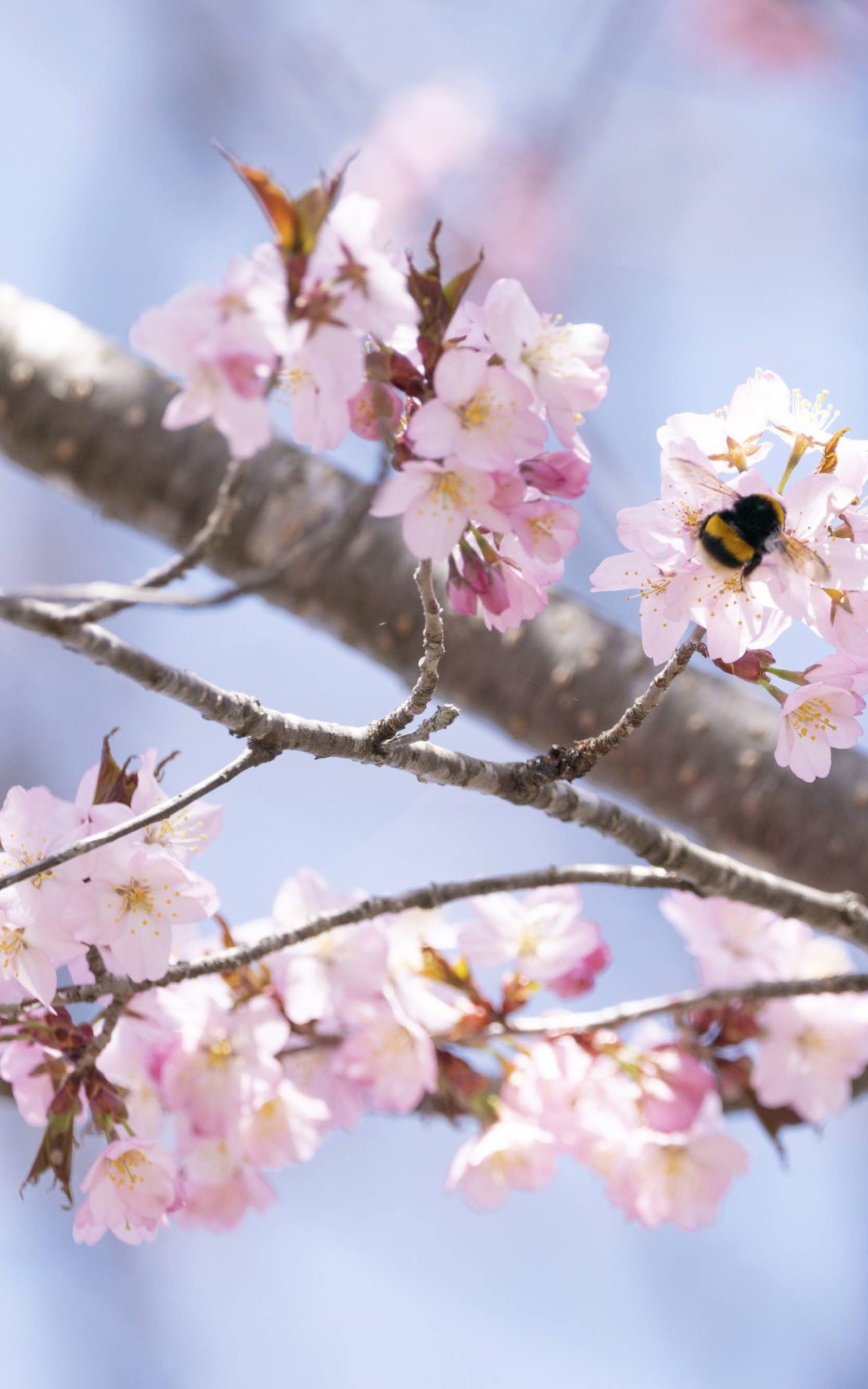
Spring arrives in early April when the ice on Lake Kussharo breaks and begins to flow into the Kushiro River. The monotone forests gradually become more colorful as spring ephemerals such as Fukujuso (Amur Adonis), Fukinoto (Butterbur), Mizubasho (Skunk Cabbage) start to bloom, followed by Kitakobushi (Japanese Magnolia) and Ezo-Yamazakura (North Japanese Hill Cherry). Birds are active, and you can hear their chirpings along the trail as you walk. The lingering snow on the mountain is beautiful, and the spring greenery that spreads in the field is more energetic than it looks. It is a season of joy for plants, animals and humans after a long winter.
Summer: June – August
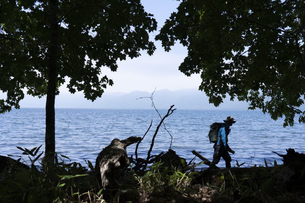
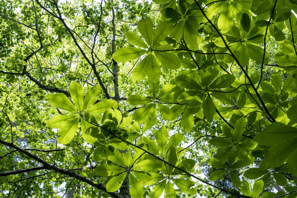
Early June is the season of fresh greenery. The foliage grows day by day and animals are busy raising their babies in the mountains and fields. You may have a chance to encounter young wild animals on the trail. The pleasantness of a sunny day during this season is priceless. It’s neither cold nor hot, this sort of pleasant weather is the common summer climate of Hokkaido. However, with the recent northward movement of the rainy season front, we sometimes experience unsettled weather.
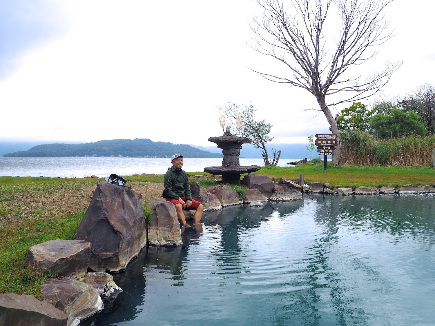
Following an unstable period in June, a short summer comes to Hokkaido. In recent years, the temperatures in the center of eastern Hokkaido where the MKT is located are relatively high, often exceeding 30 degrees Celsius (86 F), so be careful of heatstroke. On hot days, going for a swim in Lake Kussharo may be a good idea.
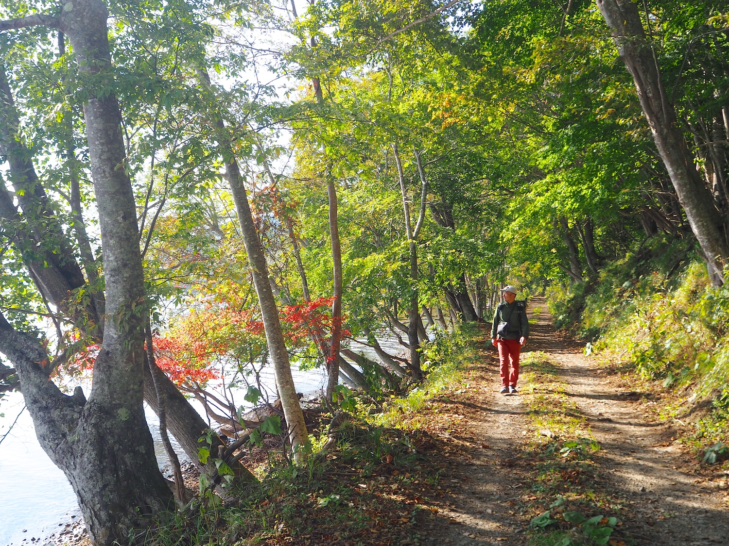
Autumn: September – November
The pressure pattern is unstable and windy days are common during this season. The mornings and evenings are bitterly cold and temperatures can vary widely within a day like in spring. It is common to see one day with single-digit temperature and next day with 25 degrees Celsius (77 F) or higher during the daytime.
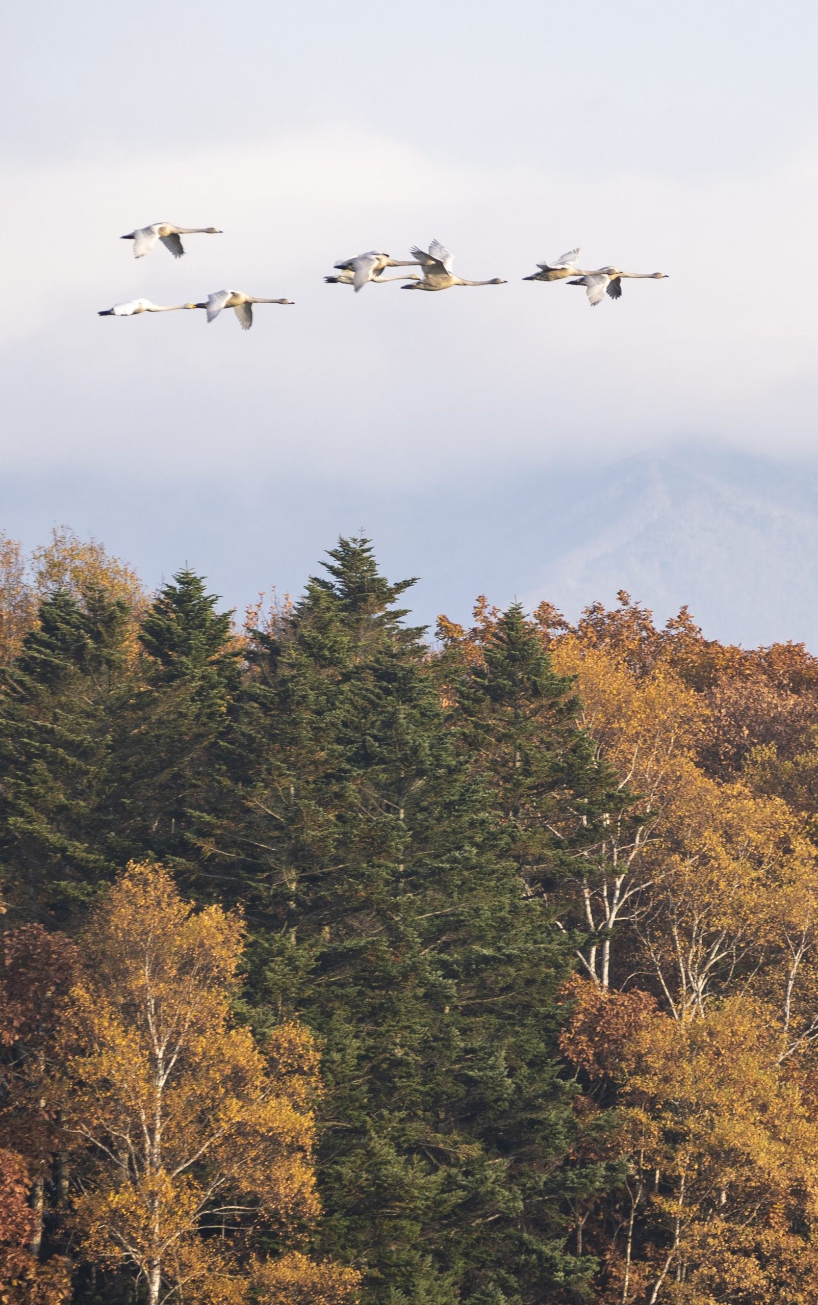
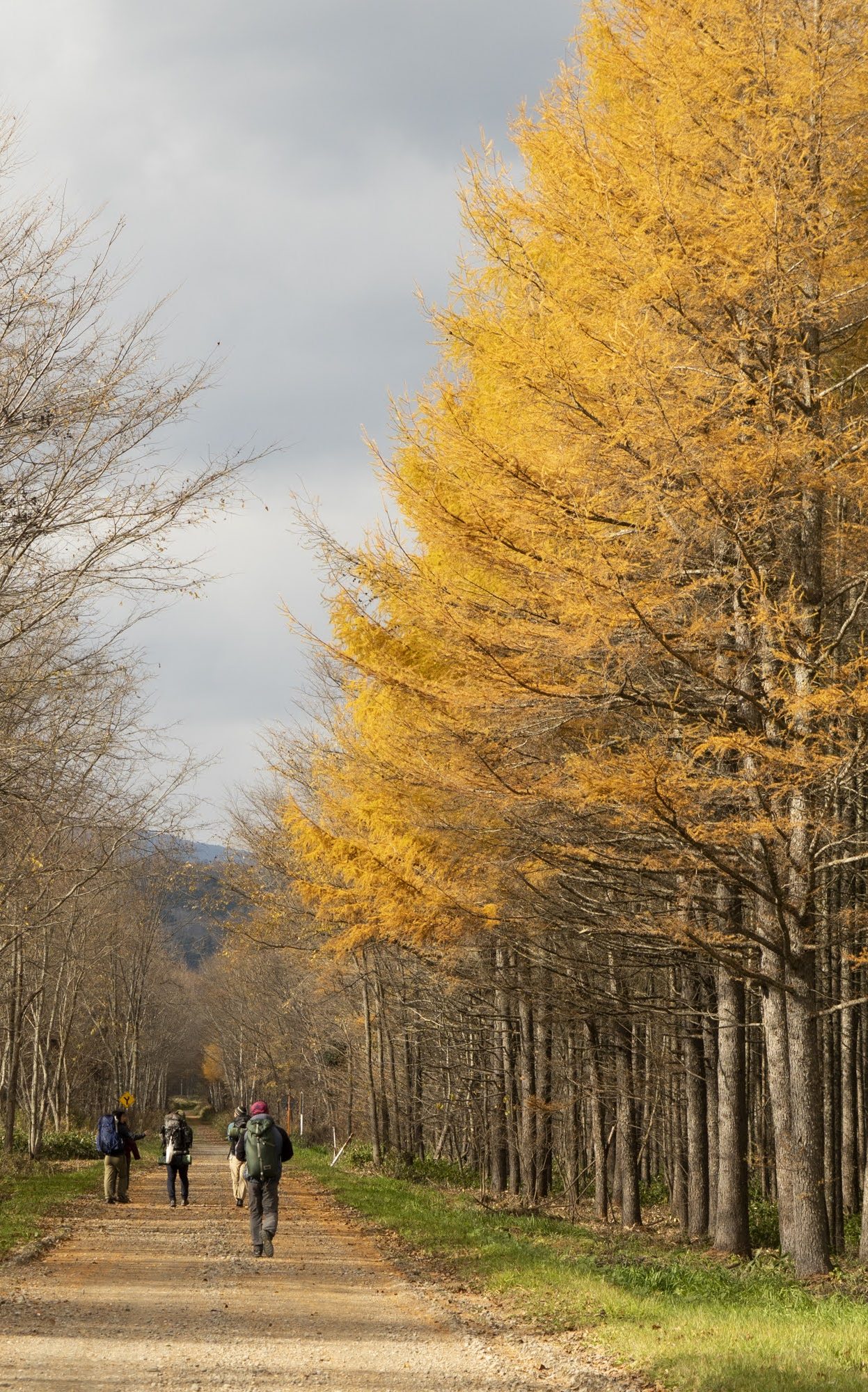
After the Bon holidays in mid-August, it is already autumn in Hokkaido. The mornings and evenings gradually become cooler. Autumn is the season when plants and animals begin to prepare for the long winter ahead. The colors gradually change starting from higher altitudes and usually peak along the lakeside in late October. In early November, when the leaves of maple trees and other broad-leaved trees have almost completely fallen, the larch trees turn golden, marking the finale of the foliage season. Whooper swans fly to Lake Kussharo from as far away as Siberia to overwinter. In the mountains and fields, the calls of stags in their mating season echo through the air. It is a dramatic season that moves quickly toward winter.
Winter: December – March
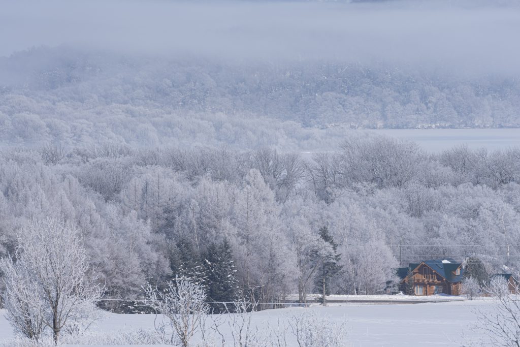
Usually, snow starts to accumulate and stay at end of December. From around the time of the winter solstice to February is the coldest season of the year. Lake Kussharo is frozen over at this time. Lake Mashu also freezes over once every few years. There are many sunny days in winter, with severe cold temperatures. The minimum temperature can drop to nearly -30 degrees Celsius (-22 F). The maximum temperature might also be below freezing, but it feels warmer if it’s sunny. However, beware of fierce blizzards that may last for a few days a few times during the season.
※The MKT is basically closed in winter since most of the trail is covered with deep snow. In addition, winter is hunting season, so you need to be aware of hunting zones in the forest. You need considerable preparation if you walk the MKT in this season.
2. How long to walk?
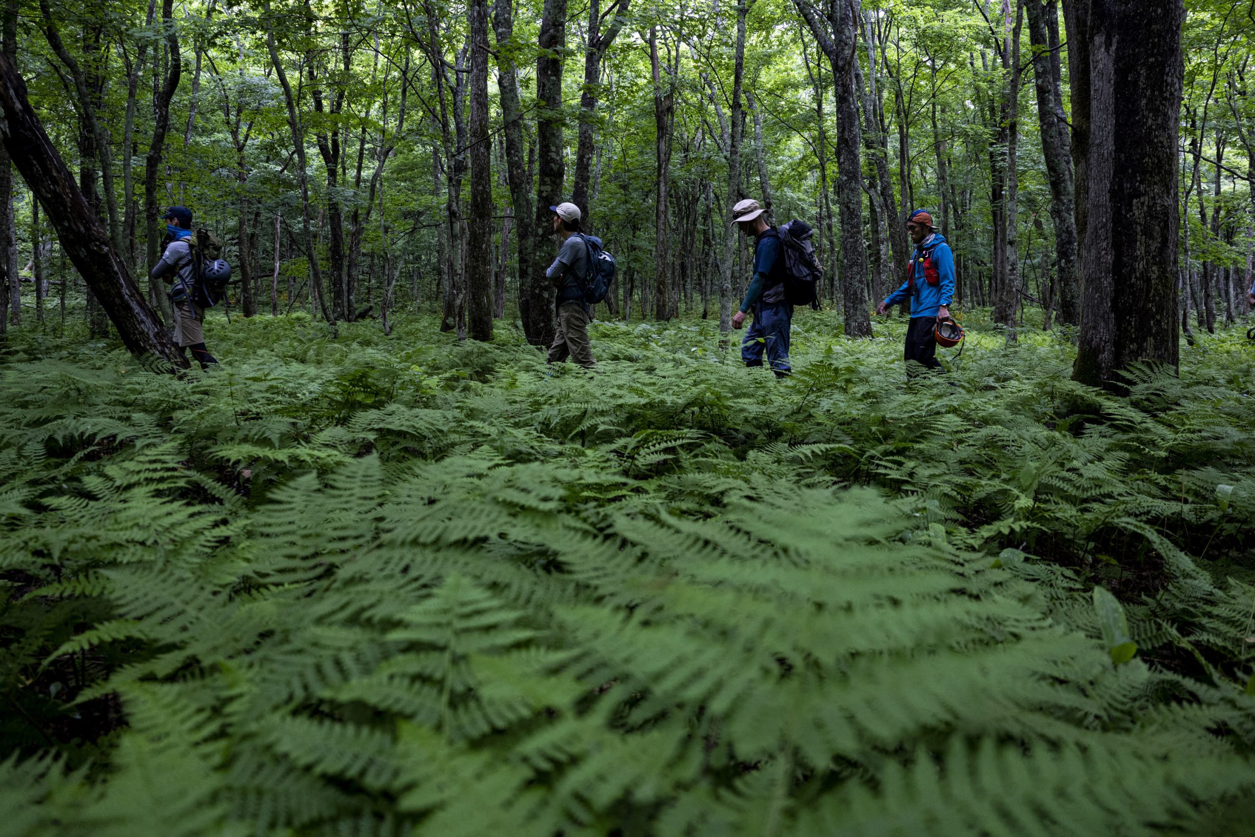
Day hiking or thru-hiking.
The hiking style is all up to you.
Walking the 62.5 km (39 mi) long MKT varies from hiker to hiker. You may want to do a “thru-hike” – walking the entire MKT as a single trip while staying in a tent at the campgrounds or at accommodations. You may instead want to do a “section hike” – walking one section at one time and coming back for other sections according to your schedule. Or you can enjoy even shorter spot hiking. Your preparations will vary greatly depending on how long you walk the MKT at one time. For your reference, if you walk the entire MKT at one time, the approximate distance to be walked in a day is 15 km (9.3 mi) to 20 km (12.4 mi) and it will take 6 to 8 hours per day. This is just a guideline.
3. How to walk?
The joy of walking
~ chacun a son gout ~
to each their own.
Each hiker has their own way to enjoy hiking. There are variety of attractions such as trees, plants, birds, wildlife, scenery and Ainu and Japanese culture. Walking slowly and taking your time on the trail will give you great opportunities to experience new things, sensations and awareness that you may never realize in everyday life. You can walk to enjoy hot springs or great foods in the region, or you can walk with your camera in hand to take photos of the picturesque nature along the trail. You can walk to collect your thoughts in silence, or you can just walk without thinking. There are many ways to enjoy walking. Walking is the ultimate freedom!
Right frame of mind for walking
Some parts of the MKT are nature paths or gravel roads surrounded by nature, and some parts are long, paved road. You will walk sections of the trail without any signs of humans and roads people use every day, including national highways. There is a certain level of risk, so insufficient planning and equipment can be dangerous. Please walk with the same equipment and attitude as you do for regular mountain hiking.
1. Gather information and make a reasonable plan in advance
Before you go, check the latest information on the trail including climate, temperature and weather warnings or advisories, and make a reasonable plan without being overconfident in your own physical strength and skills.
➡︎ Get the latest information on the MKT
➡︎ Check the MKT Instagram
2. Rules that hikers should follow
What rules apply? What considerations are necessary? Check them in advance.
➡︎ Rules hiker should follow
➡︎ What is Leave No Trace?
3. Consideration for the local residents
The MKT includes farm roads used by local farmers. If you meet tractors or other vehicles on farm roads, please stop and give way to them even if the roads are wide. Do not enter private property including farms and meadowland. Please be aware that soil pests (nematodes) and other insects attached to your shoes may enter the fields and cause damage to crops.
4. Trails through the national forest road
Please note that large vehicles may pass through the national forest road (a part of the trail between Lake Mashu and Biruwa) due to forestry operation. Please be sure to check the latest information as the road may be closed in some cases.
Intrinsic Risks
The MKT is a relatively easy trail to walk overall with no big difference of elevation. However, there are always risks lurking and the types of risks are varied. It is important to prepare countermeasures in advance.
1. Weather
・Solar radiation
During the summer, be careful of heatstroke as the temperature in the daytime rises rapidly. Even in late May or early June, the temperature can suddenly rise above 30 degrees Celsius (86 F). The distance between water stations on the trail is quite long, so bring enough water with you. Ultraviolet rays have an impact throughout the year. Remember to wear sunglasses, avoid exposing your skin and take other UV protection measures.
・Rain (April – November)
Be prepared for rain even if the weather forecast says otherwise. There is always an unpredictable chance of rain in spring and autumn, and sudden thunderstorms in summer. You need to be careful of hypothermia caused by being wet. Wetness and wind will take heat away from you in one fell swoop. A rainsuit and energy food are essential to carry. We also recommend that you prepare an emergency tent/shelter and/or other wind and rain protection gear in case you get stuck. Also, you need to be very careful to avoid injury. There are many areas on the trail that become very slippery when it rains. Be especially careful not to slip on downhill slopes.
・Snow (April, May, October, November)
Snow can fall as early as mid-October. Usually, snowfall increases and completely covers the ground in late December. You may think it’s already spring in late April, but it is not unusual to wake up to see white snow covering everything in the morning during Golden Week, a set of national holidays that falls between April 29 and May 5. You also need to be careful about lingering snow in the spring as you may walk through squishy mud. Be well equipped and have a flexible schedule.
2. Environment
・ Fallen trees
There are many old and rotten trees on the trail. Watch out for fallen trees and fallen branches when you walk, especially in the forests.
・ Traffic accidents
There are places on the trail where you will cross national roads, prefectural roads and other roadways. Make sure no cars are coming and be very careful when you cross those roads, especially at points without traffic signals.
3. Plants and animals
・ Brown bear
There is a risk of encountering brown bears anywhere on the trail. The risk remains the same even on the national roads where cars come and go. Be sure to wear a bear bell or call out to let bears know you are there, especially in the woods with poor visibility. We strongly recommend carrying bear spray just in case.
・ Mountain tick
Ticks are active in spring and summer. Wear long sleeves and long pants, and try to avoid baring skin. Wearing spats or a rainsuit is also effective.
・ Hornet and wasp
If they approach you, do not provoke them and wait for them to fly away, or stop moving and slowly back away. Be especially careful with hornets which are highly poisonous, but any bee sting, regardless of its toxicity, can cause a systemic allergic reaction (anaphylaxis) that can lead to death. If you experience rapid heart palpitations or dizziness after being stung, you are in danger. In this case, call emergency services (119) immediately.
・ Gadfly
They are active in summer as temperatures rise from mid-July through early September. They bite bare skin or sometimes bite through clothing if it is thin fabric. You will experience stinging pain followed by fierce itchiness. They are especially attracted to black objects, so wearing light color clothes and hat may help. If there is a large outbreak of them, a hat with an insect net is necessary.