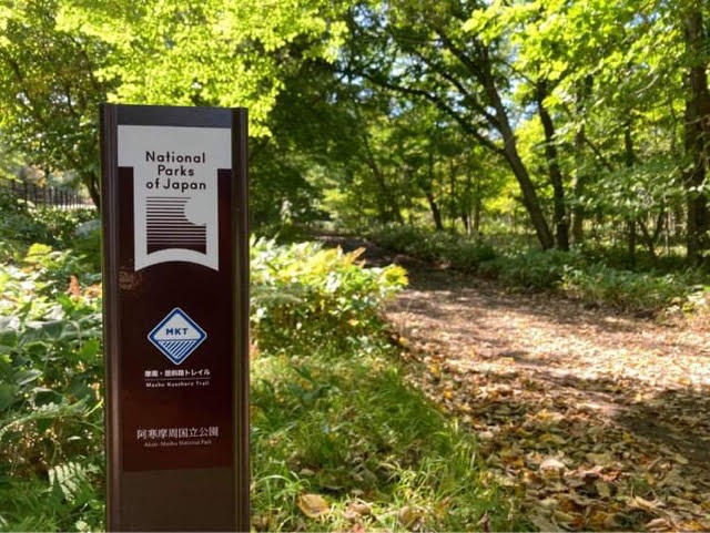
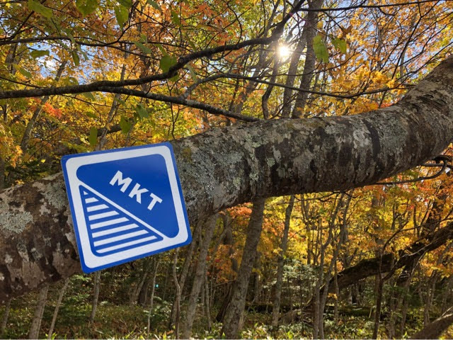
TRAIL OVERVIEW
Welcome to Mashu Kussharo Trail (MKT) !!
The Mashu Kussharo Trail (MKT)
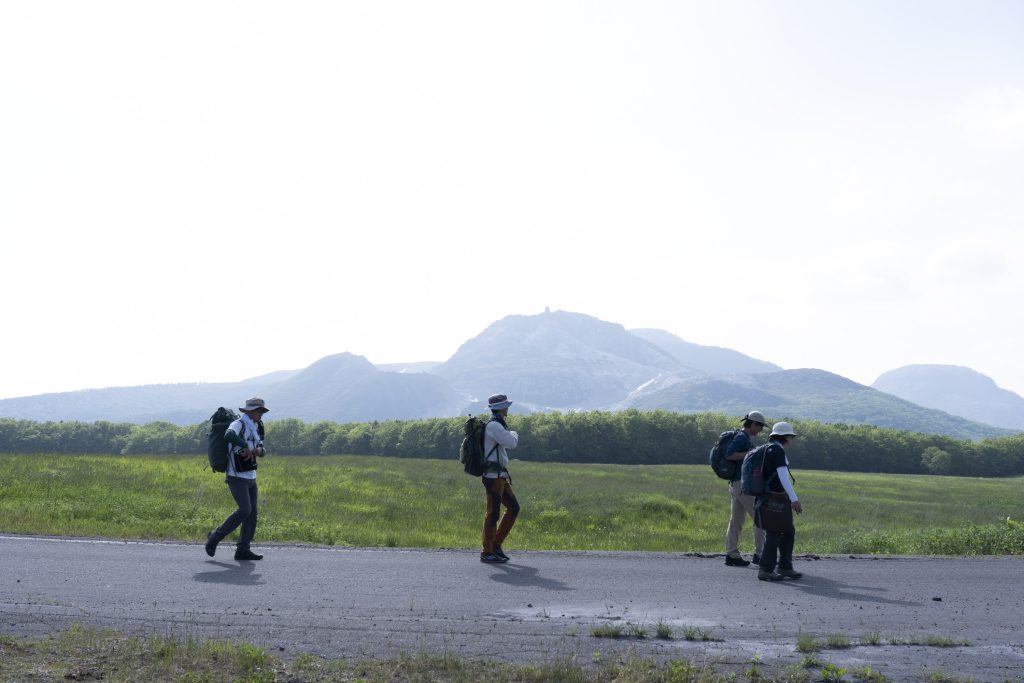
The Mashu Kussharo Trail (MKT) showcases the dynamic landscape of the northern part of Akan Mashu National Park with a route that connects crater lakes, lava domes, and natural hot springs. The trail also visits sites such as Kussharo Kotan village, an important Ainu settlement, and Mt. Io (pronounced “ee-oh”), where natural sulfur was mined in the late nineteenth century. It typically takes three to four days to complete the walk.
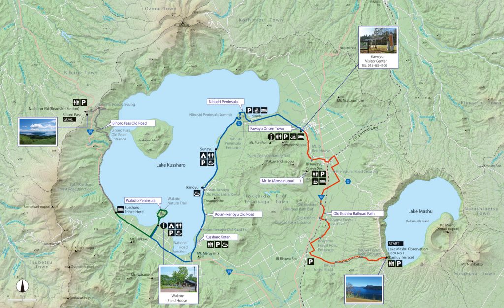
The MKT route
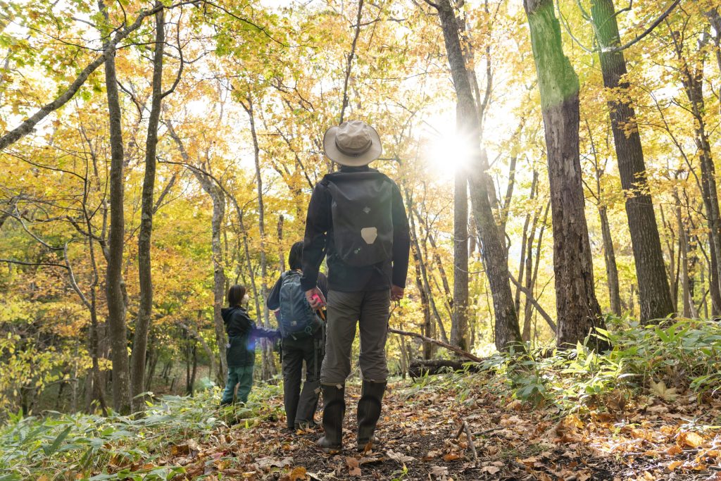
The 62-kilometer MKT runs from the Mashu Caldera, overlooking Lake Mashu, to Bihoro Pass* on the western rim of the Kussharo Caldera, with views over Lake Kussharo. From the Mashu Caldera, the trail descends to Biruwa; it then passes around the Atosanupuri volcanic complex and through the Kawayu Onsen hot-spring resort before reaching the eastern shore of Lake Kussharo. From here, the trail skirts the eastern, southern, then western shores of the lake. Along the way the trail passes several natural hot springs, sites relevant to Ainu history and culture, and venues offering Ainu culture programs, including wood carving and traditional embroidery, as well as guided canoe tours.
Most of the MKT, from Biruwa onwards to the west side of Lake Kussharo, is relatively flat with little change in elevation. The final stretch of the trail passes along a section of the western lakeshore, then winds its way up the inner slope of the Kussharo Caldera to Bihoro Pass*. An observatory at the pass offers panoramas over the lake and the caldera to the east.
Accommodation is available along the trail in guesthouses, hot-spring hotels, and at lakeside campsites offering rental tents and sleeping bags.
- Please note that a part of Section 3, between Kussharo Prince Hotel and Bihoro Pass, is not yet open. We are expecting to open that route by late 2025.
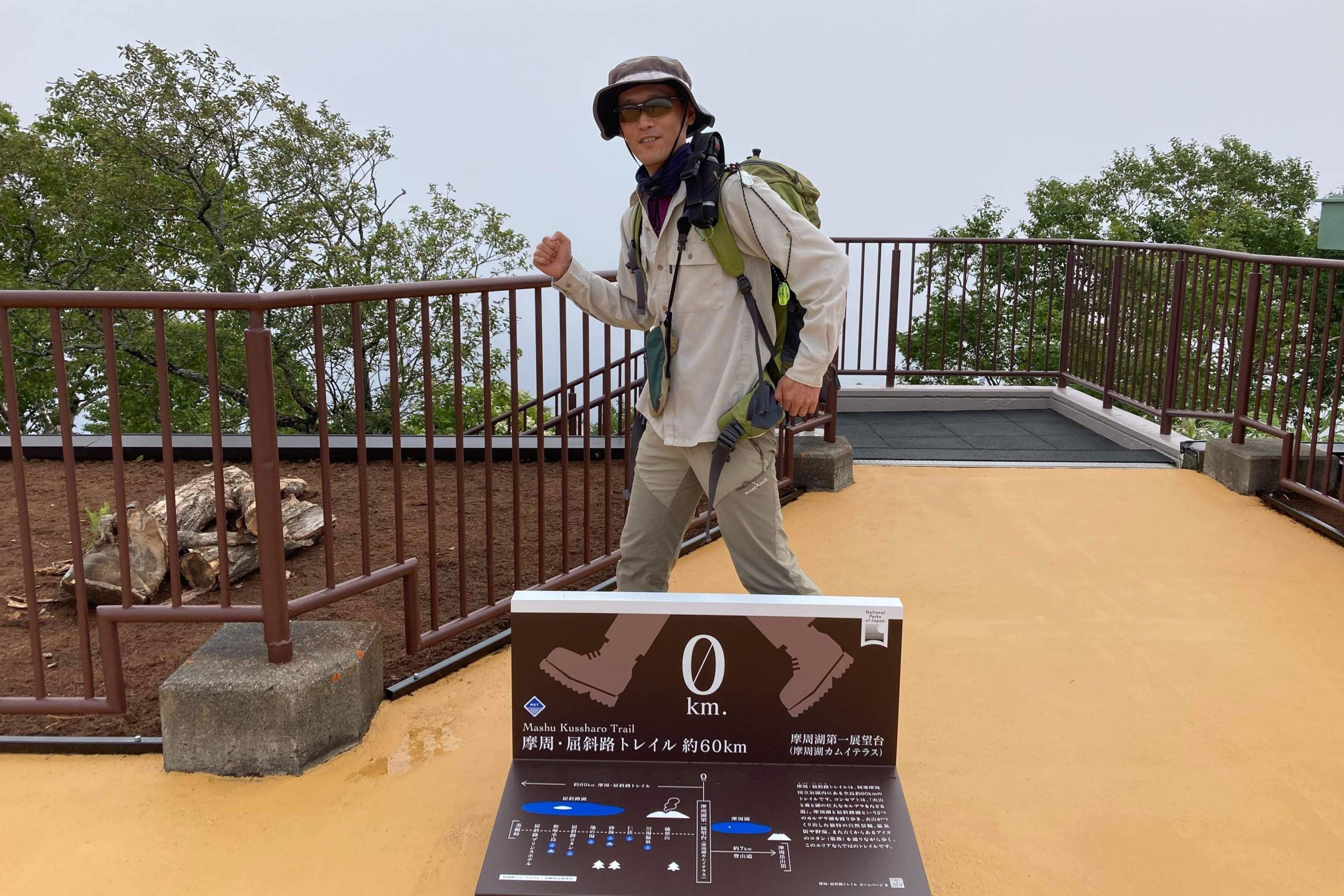
Lake Mashu
The MKT trailhead begins at the viewpoint overlooking Lake Mashu, within the Mashu Caldera. The deep, clear waters of the lake can be brilliantly blue and often reflect Mt. Mashu to the east. Also known by its Ainu name of Kamui-nupuri, this mountain forms the highest point on the caldera rim. The lake is fed by rainwater and has no outlets. There is no access down to the lake itself, but the scene can be fully enjoyed from the viewing platform.
-1024x683.jpg)
Lake Kussharo and Ainu heritage
Lake Kussharo covers 79.3 k㎡ and is the largest of Japan’s caldera lakes. It fills most of the western half of the Kussharo Caldera, which is an enormous depression (20 × 26 km) that was formed in a series of major eruptions beginning more than 300,000 years ago.
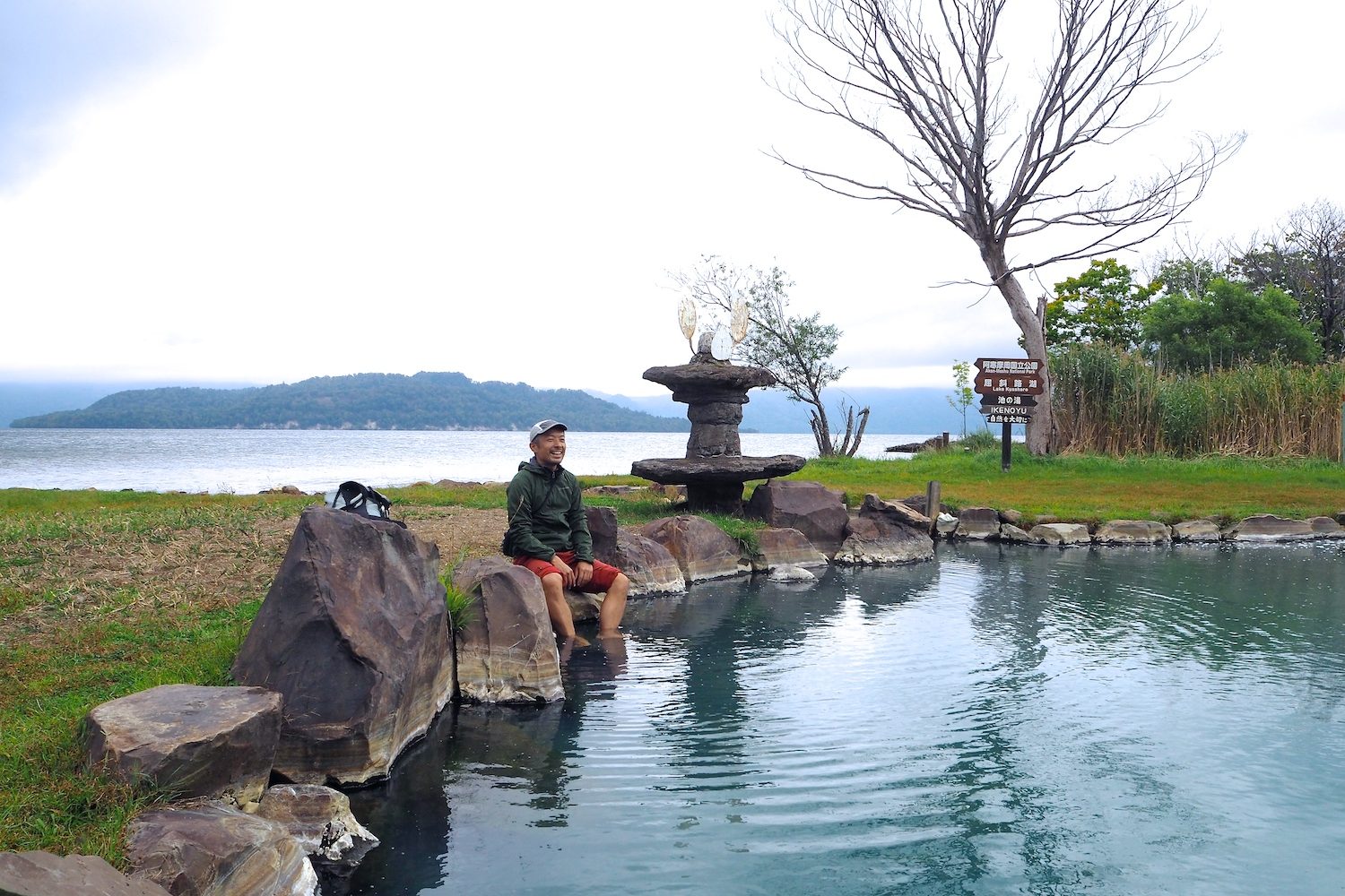
Ainu settlements flourished on the shores of the lake, where the people hunted, foraged, and fished. The MKT passes Ikenoyu, a natural hot spring beside the lake. Here, in the past, Ainu people bathed, and used the warm water to soak tree bark for making bast-fiber thread for weaving. At Kussharo Kotan, the site of an Ainu village near the southern tip of the lake, the Kussharo Kotan Ainu Museum depicts the traditional Ainu way of life through artifacts and exhibits. Wakoto Peninsula juts into the southern part of the lake a few kilometers from Kussharo Kotan; here, Ainu once hunted deer.
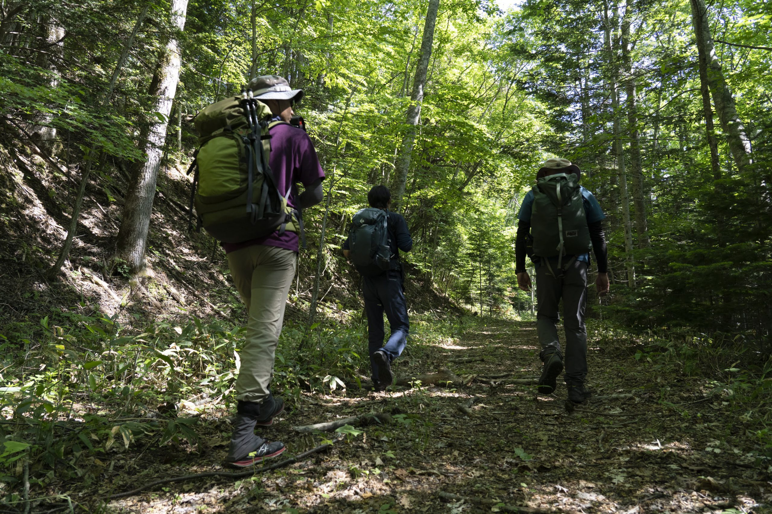
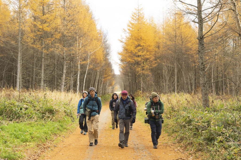
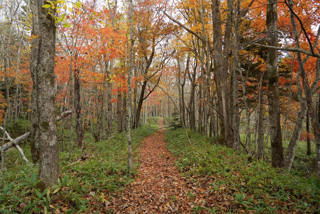
Nature trails and diverse landscapes
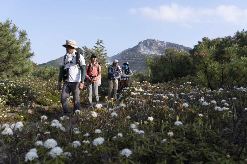
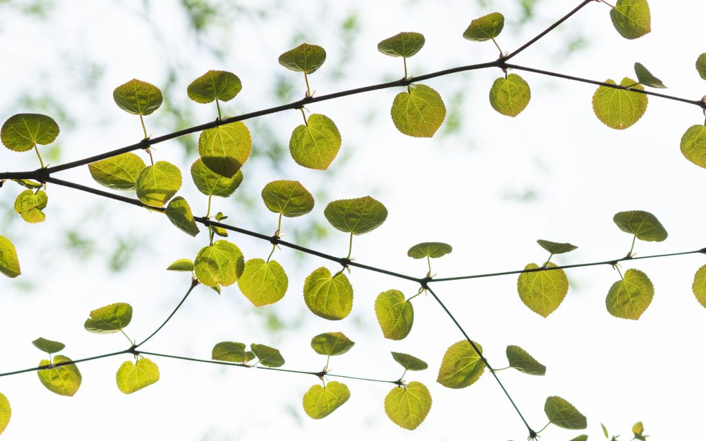
The MKT includes branching nature trails through woodlands and around lava domes. The Tsutsujigahara Nature Trail leads from Mt. Io, part of the Atosanupuri volcanic complex, to the Kawayu Visitor Center. The vegetation changes along the course of the trail from gnarled and stunted stone pines and hardy Labrador tea plants in the sparse foothills of the mountain to tall conifers and broadleaf trees in lush woodland near the visitor center. The Nibushi Peninsula Nature Trail passes through forest with towering Sakhalin fir and katsura trees, and along a stretch of the sandy eastern shoreline of Lake Kussharo. The Wakoto Nature Trail loops around the heavily wooded Wakoto Peninsula, which is a haven for birds and wildflowers.
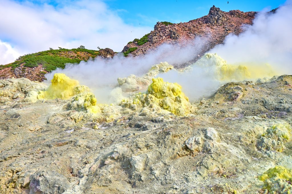
Mt. Io and sulfur mining
Steam and volcanic gases rise from numerous bright yellow fumaroles on and around rocky Mt. Io. In the local Ainu language the mountain is called Atosanupuri, which means bare mountain, because of its general lack of vegetation. Sulfur (io in Japanese) gives the fumaroles their color and the mountain its Japanese name. From the late nineteenth century onwards, sulfur ore was mined here and the industry spurred economic growth, contributing to the development of the area. Part of the MKT follows the course of an old railroad used to transport ore mined at Mt. Io. The Mt. Io Rest House has a 1:3 scale model of one of the locomotives that operated here and displays (in Japanese) about the history of sulfur ore mining in the area.
Flora and fauna
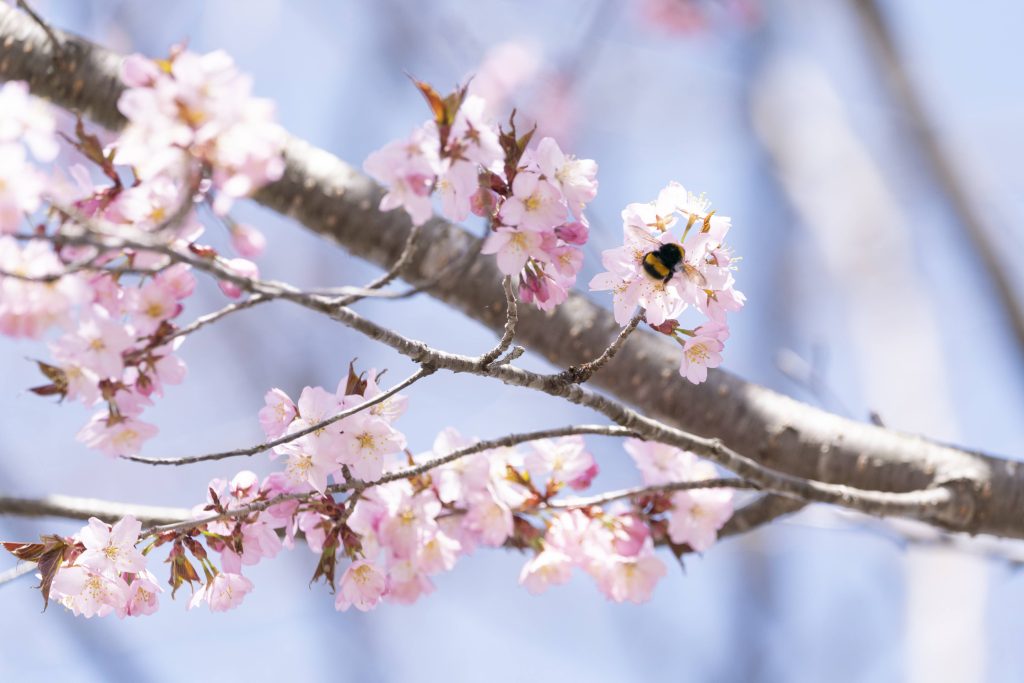
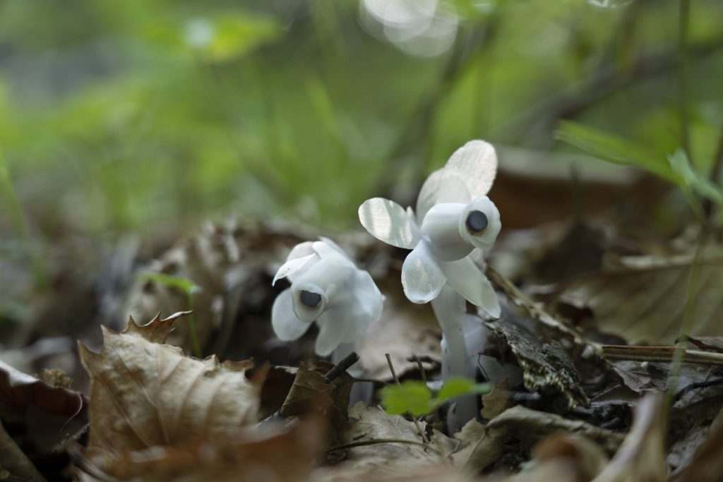
The shores of Lake Kussharo and the woodlands of the Kussharo Caldera are rich in flora. Forests are typically mixed and made up of conifers such as Sakhalin fir and Ezo spruce and broadleaf species including Manchurian elm, Mongolian oak, and Japanese linden. Wildflowers begin blooming as early as April and certain species bloom as late as September. Popular flowers include: blue corydalis in early spring, white-flowered creeping dogwood in early summer, and various lilies, such as the two-meter-tall heart-leaved lily with creamy greenish-white trumpet-shaped flowers in mid-summer.
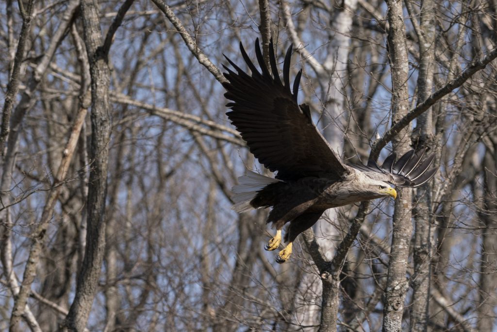
Many bird species can be heard and seen along the trail and waterfowl frequently gather on the lake, especially in spring and fall. Resident species include the black woodpecker, long-tailed tit, and Eurasian jay, and migratory species include the common kingfisher, whooper swan, and eastern crowned warbler. As you walk through these woodlands, you may spot Eurasian red squirrel and see signs of Japanese deer, red foxes, and other animals.
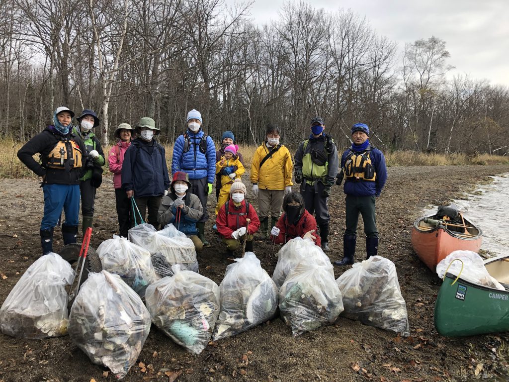
Visitor centers along the MKT have information about the biodiversity of the Kussharo region and can advise on brown bear activity in the area. To avoid surprise encounters with brown bears, hikers are recommended to carry a bell.
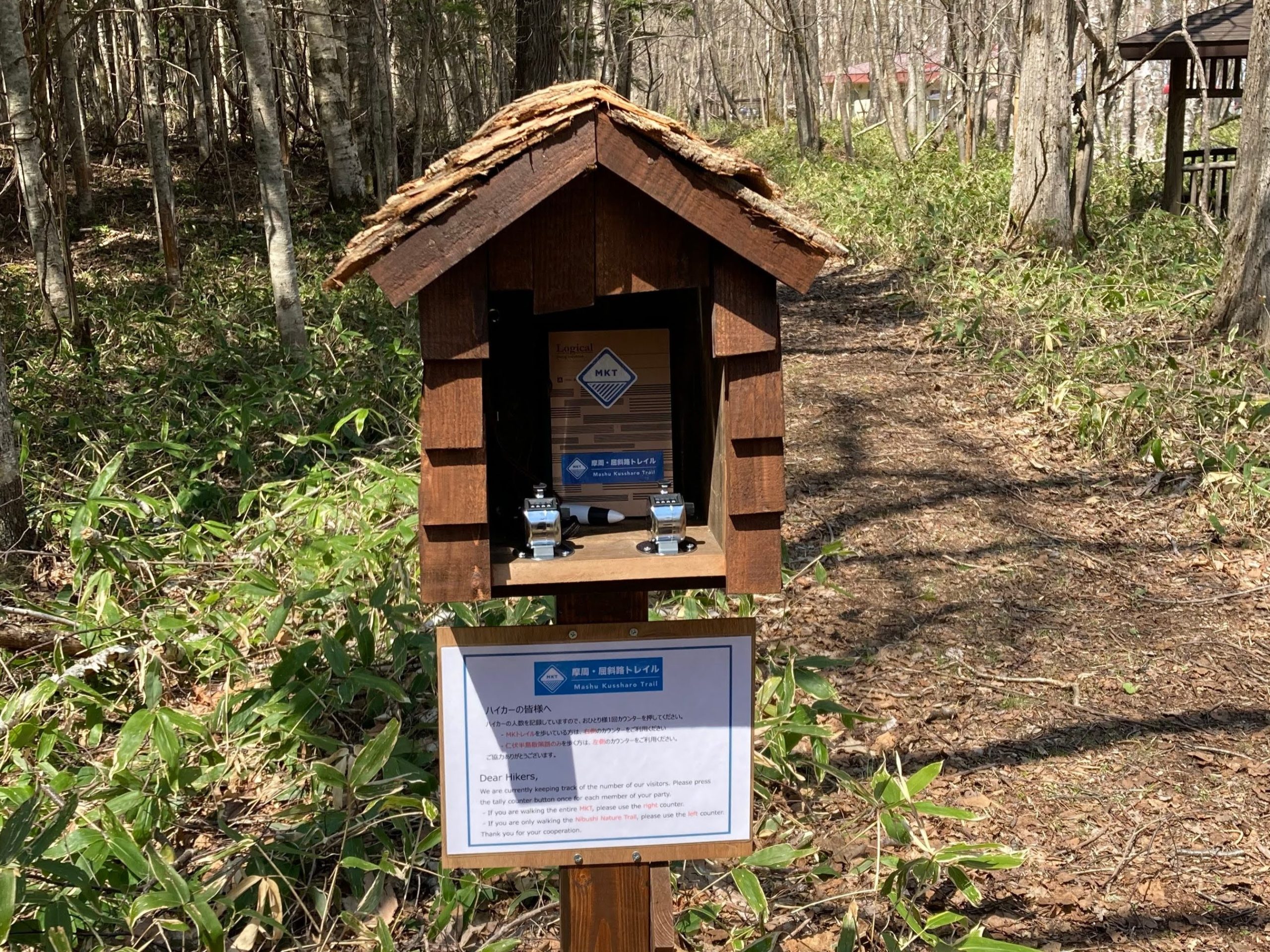
MKT is supported by the people who care about the region in which they live.
The Mashu Kussharo Trail is supported by the local community, local government, and hikers. The Teshikaga Trail Club (TTC), a non-profit organization, has taken on the role of coordinator, and handles trail maintenance in a sustainable manner. The TTC is committed to creating hiking trails and fostering a culture of hospitality for hikers in order to contribute to the happiness of both local residents and trail users.